
weather warnings — Weather warnings are anticipated as a storm is set to hit Cyprus starting Tuesday evening. The Meteorological Service has advised residents to prepare for severe weather conditions that will impact the island.
- As the island braces for the impending storm, it serves as a reminder of the power of nature and the need for preparedness in the face of severe weather.
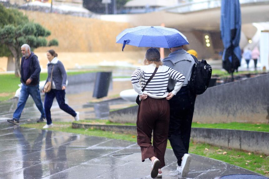
Weather warnings: Increased Wind Strength and Rain Expected
According to Andreas Chrysanthou, spokesperson for the Meteorological Service, Tuesday afternoon will see winds strengthening, leading to what he described as “very strengthened wind fields”. By evening, the winds are expected to reach moderate to strong levels, becoming temporarily strong to very strong in coastal areas, accompanied by local rain and storms.
Storm Progression Across the Island
The storm is expected to approach from the west, gradually spreading across the island by Wednesday. Chrysanthou noted that the deterioration in weather would be significant, with intense and prolonged phenomena anticipated. He warned of potential water accumulation during storms, hail, and even snow on the higher peaks of Troodos.
Regional Impacts and Forecasts
Chrysanthou indicated that the southern, western, and northern areas of Cyprus may experience more intense weather phenomena. “Strong wind fields with rain and storms are expected from Tuesday night, particularly in these regions,” he stated. The spokesperson also remarked, “So the new year will bring cold from its start,” highlighting the abrupt change in weather patterns.
Tuesday’s Conditions
Prior to the storm, Tuesday will start with mainly clear conditions, featuring northwesterly to northerly winds at a weak to moderate force of 3-4 Beaufort. Locally strong winds of force 5 are predicted in the west, while seas will be slightly rough to rough on the southern and eastern coasts, and rough to very rough on the western and northern coasts.
Temperature and Rainfall Predictions
Temperatures on Tuesday are expected to reach around 14°C inland, approximately 16°C on the coast, and around 6°C in the higher mountainous regions. As clouds gather throughout the day, isolated showers may occur in the west during the afternoon. Winds will primarily be southwesterly, initially variable and weak to moderate at 3-4 Beaufort, with seas being slightly rough, although rougher conditions may prevail in the west and north.
Wednesday and New Year’s Day Outlook
On Wednesday, cloudy conditions are expected with local rain and isolated storms. Snow or sleet is likely to fall on the higher peaks of Troodos, marking a significant shift in weather as the new year commences. New Year’s Day is predicted to be partly cloudy, with isolated showers forecasted initially in the west, followed by a return to clearer conditions by Friday.
Significance of Seasonal Changes
The upcoming storm highlights the importance of being prepared for seasonal weather changes. The Meteorological Service urges residents to stay informed and take necessary precautions as the storm approaches. With temperatures remaining close to average seasonal values, the community is reminded to be vigilant during this time of year when severe weather can occur.
Continuous Monitoring by Meteorological Authorities
The Meteorological Service will continue to monitor the situation closely and issue updates as necessary. Residents are encouraged to heed any warnings and advice issued by the authorities to ensure their safety during the storm.
As the island braces for the impending storm, it serves as a reminder of the power of nature and the need for preparedness in the face of severe weather.