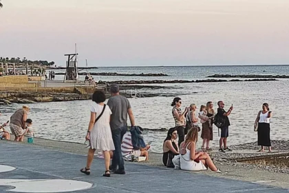

A deadly heatwave is sweeping across Western and Central Europe, but Cyprus is set to dodge the worst of it, according to meteorologist Andreas Chrysanthou. While at least 18 people have tragically lost their lives in France, with temperatures soaring above 44°C, conditions on the island remain close to seasonal norms.
In France, the extreme heat has led to the deaths of individuals, including two children. The UK’s Met Office has issued a red extreme heat warning, with forecasts suggesting temperatures could reach 39°C, potentially breaking the country’s record for June. Meanwhile, Spain has placed 13 of its 17 regions on orange alert, with parts of the country already experiencing 40°C heat.
Chrysanthou, who works with the Department of Meteorology in Cyprus, explained the situation. He stated that the heatwave is impacting Spain and France the most, with temperatures also running above normal across the Netherlands, Germany, Italy, and southern England.
The intense heat is primarily being driven by warm air masses from Africa, which are trapped near the surface due to prolonged high pressure over Western Europe. This pattern is expected to persist at least until Saturday, when conditions may begin to ease.
In contrast, Cyprus is benefiting from a low-pressure wedge generated by the weather in Western Europe. This phenomenon is channelling cooler air masses towards the island. Chrysanthou noted, “We will have a temporary rise of around one to two days, but nothing extreme in our area for the time being.” He added that temperatures in Cyprus are holding at near-normal levels for the season.
Looking ahead, the low-pressure system may bring rainfall to the mountainous areas of Cyprus from Friday through Sunday. However, there is also a possibility of thunderstorms. Chrysanthou mentioned that the combination of low pressure, high temperatures, and increased humidity could create atmospheric instability, potentially leading to summer showers or storms.
Interestingly, he clarified that there is no direct link between the current heatwave and the El Niño phenomenon. According to him, the extreme weather affecting Europe is related to Atlantic Ocean pressure patterns, and any influence from El Niño on Europe would not be immediate but may manifest over time.
Chrysanthou also warned that similar heat events could recur throughout the summer, referencing a heat dome that was recorded over Western and Central Europe in August 2025. As the climate continues to change, the region may see more frequent and intense weather patterns.